Our Solution
Ensuring Precision in Labeled Datasets with a Multi-Pass Annotation Process
We employed a team of five experienced annotators who were proficient in using the client's specified image annotation tool, LabelImg. Leveraging their subject matter expertise and the bounding box annotation technique, they accurately categorized and labeled required objects in the aerial images. We adopted a multi-pronged approach to overcome the project challenges and ensure all the labeled images met the client's expected accuracy standards. Our service involved:
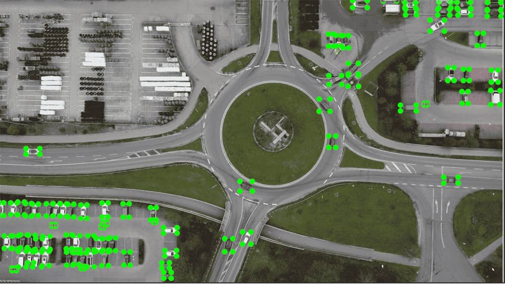
After
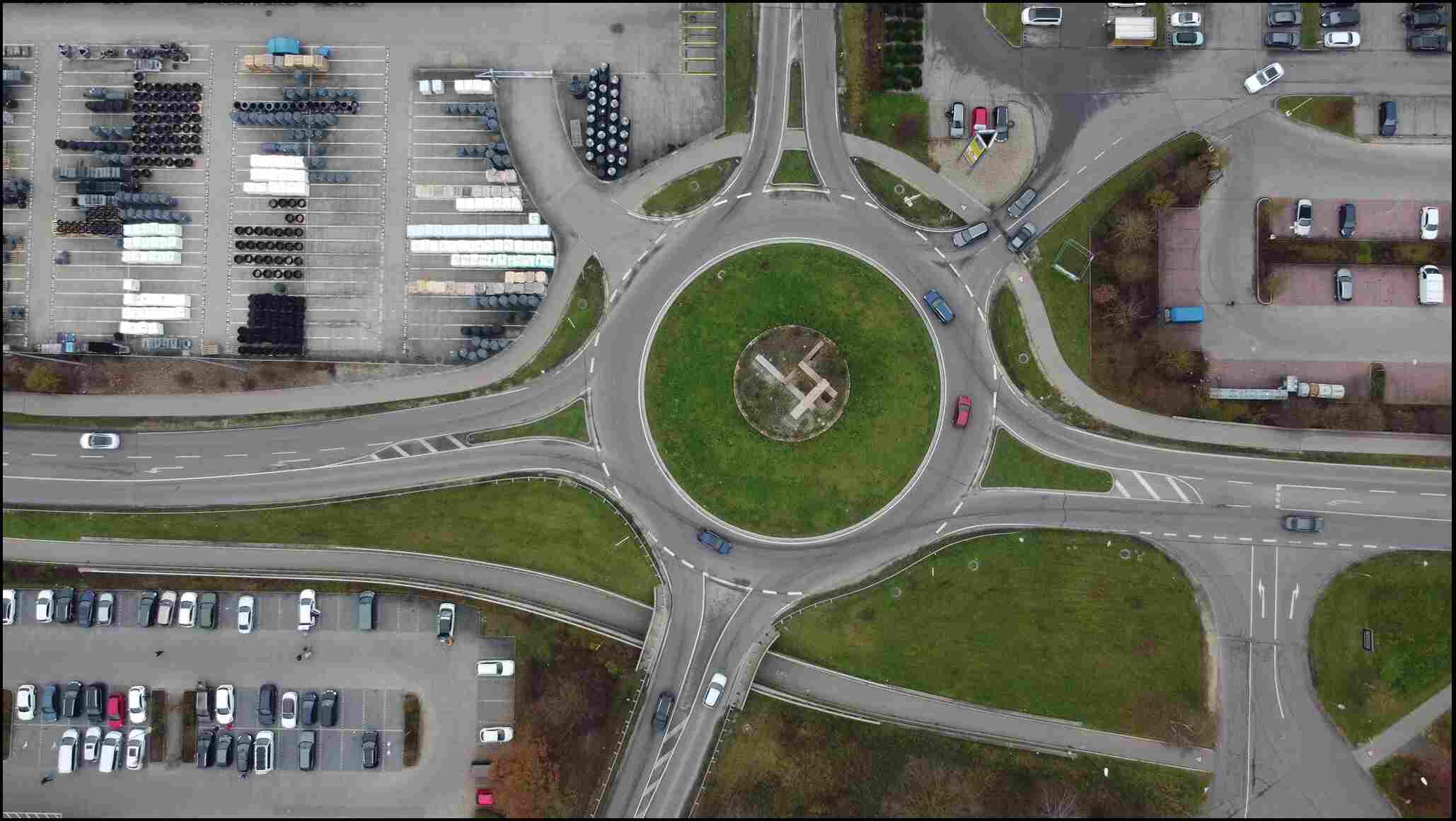
Before
Defining Annotation Criteria
We created detailed image labeling guidelines for the project, including visual references for each object class and a decision framework for handling ambiguous cases.
High Precision Zooming
We advised annotators to work at 100% zoom-in using the LabelImg image annotation tool for precise object identification and bounding box placement and then zoom out to verify context.
Feedback Sessions and Team Meetings
We held regular team meetings to discuss complex annotation cases and ensure consistency across annotators. Furthermore, our project manager maintained regular contact with the client, facilitating real-time adjustments in the labeling process by incorporating feedback.
Quality Assurance
We implemented a rigorous, multi-level QA process to ensure accuracy and consistency in the labeled dataset. From defining the list of classes for image labeling in the tool to manually verifying the annotated images, we involved our subject matter experts at every stage. The quality assurance process included:
- Peer review and quality check to verify that bounding boxes were precisely placed around each object in the images, adhering to predefined classification standards.
- Secondary review by senior annotators for addressing complex cases requiring more nuanced judgment, particularly for images with lower clarity or higher object density.
- Final check by the project lead to ensure that the annotations conformed to all project specifications and aligned with the client's quality standards.
 Free Sample